By Foot, By Sea.
“There are places where the map changed faster than memory”
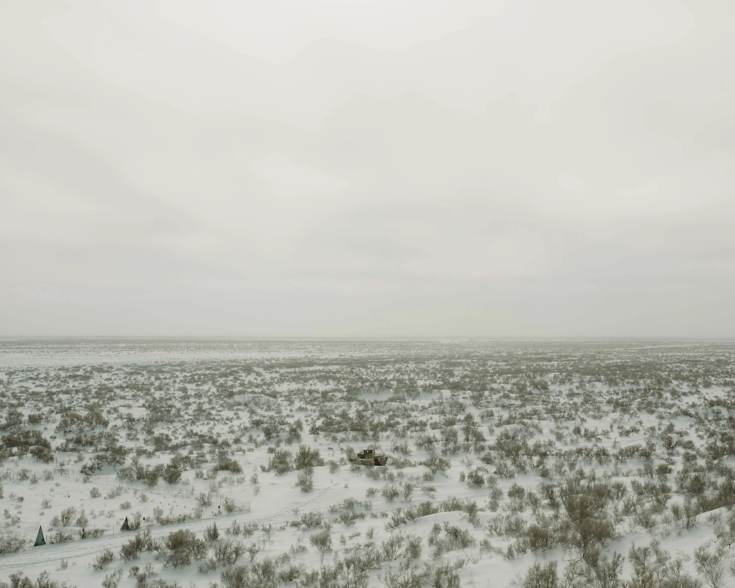
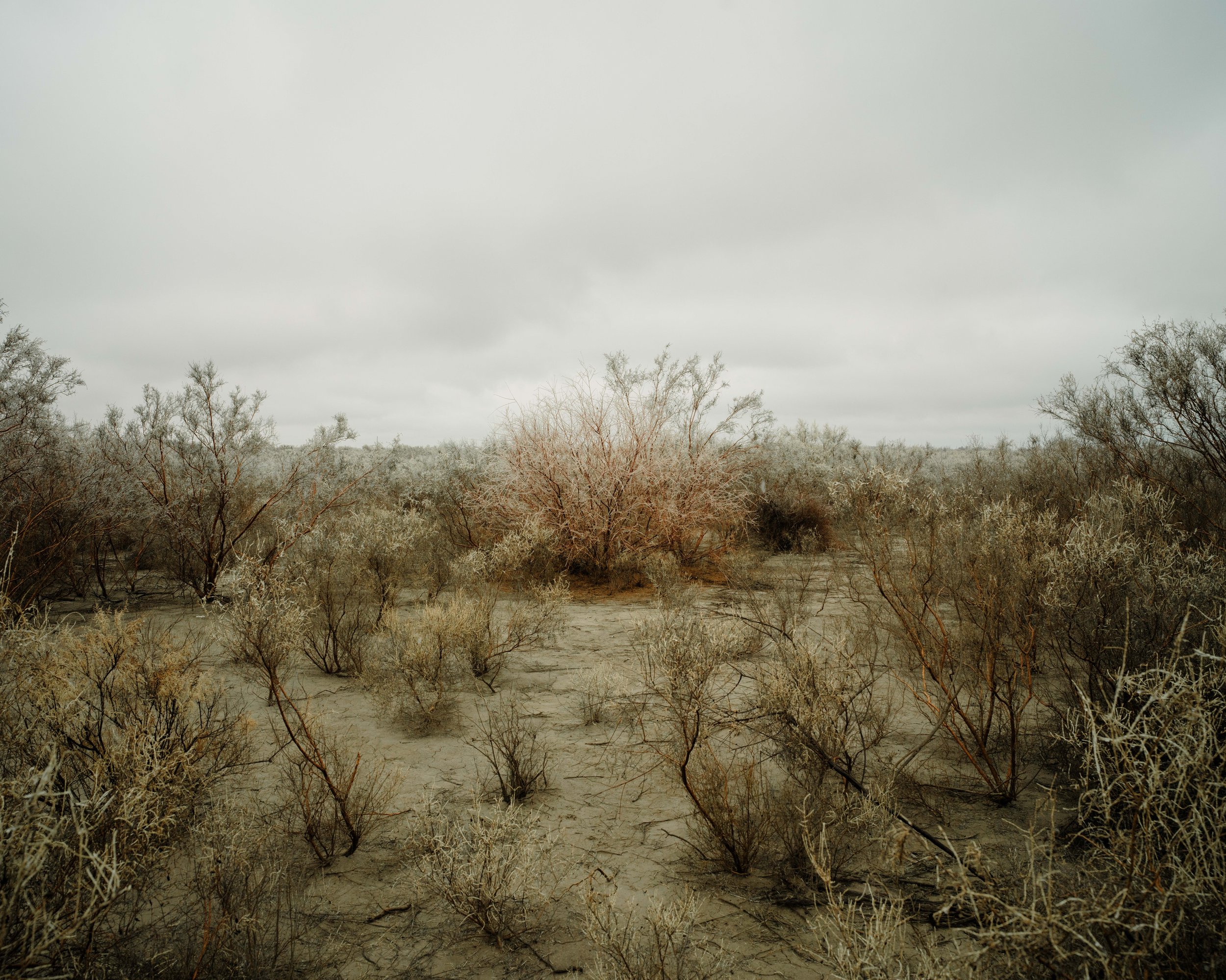
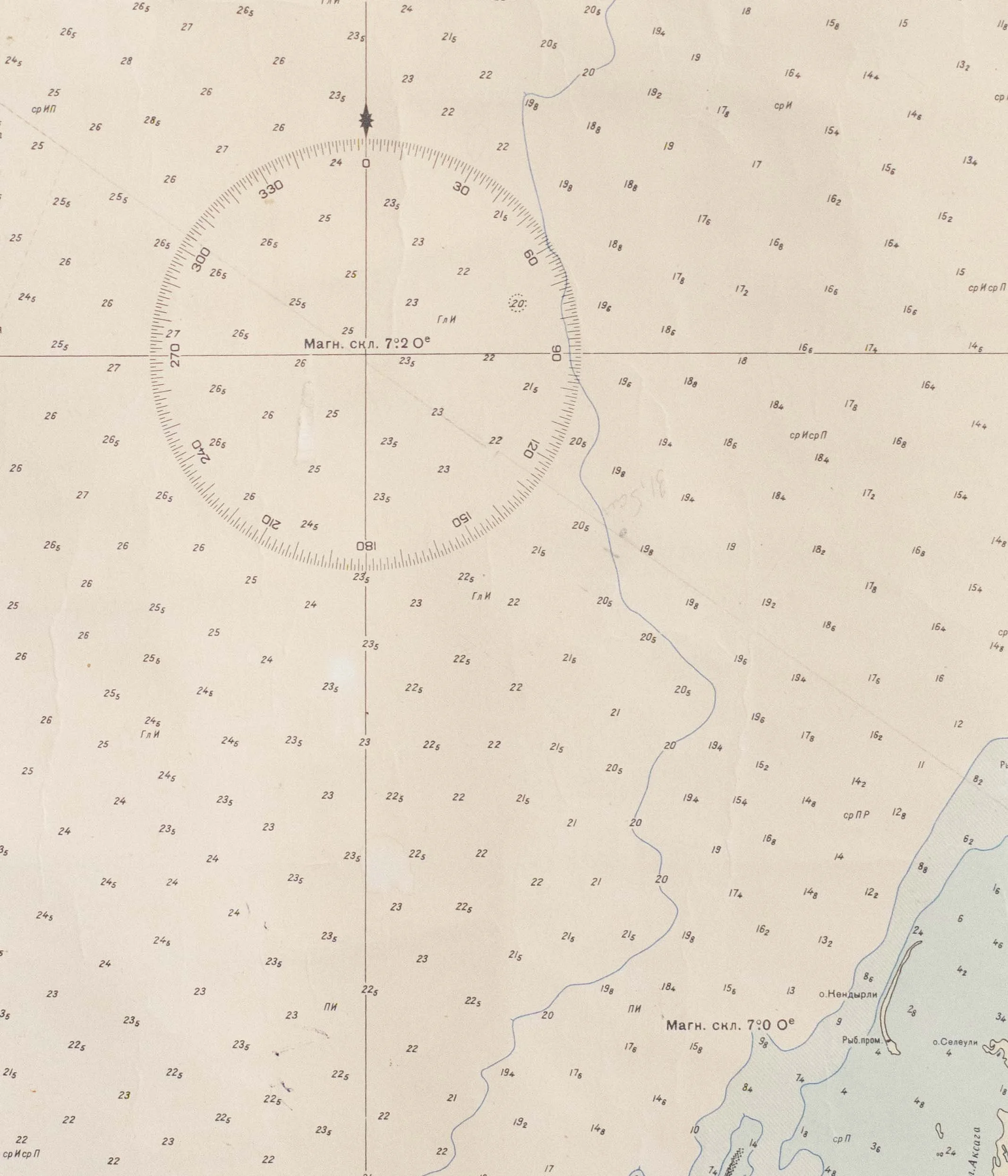
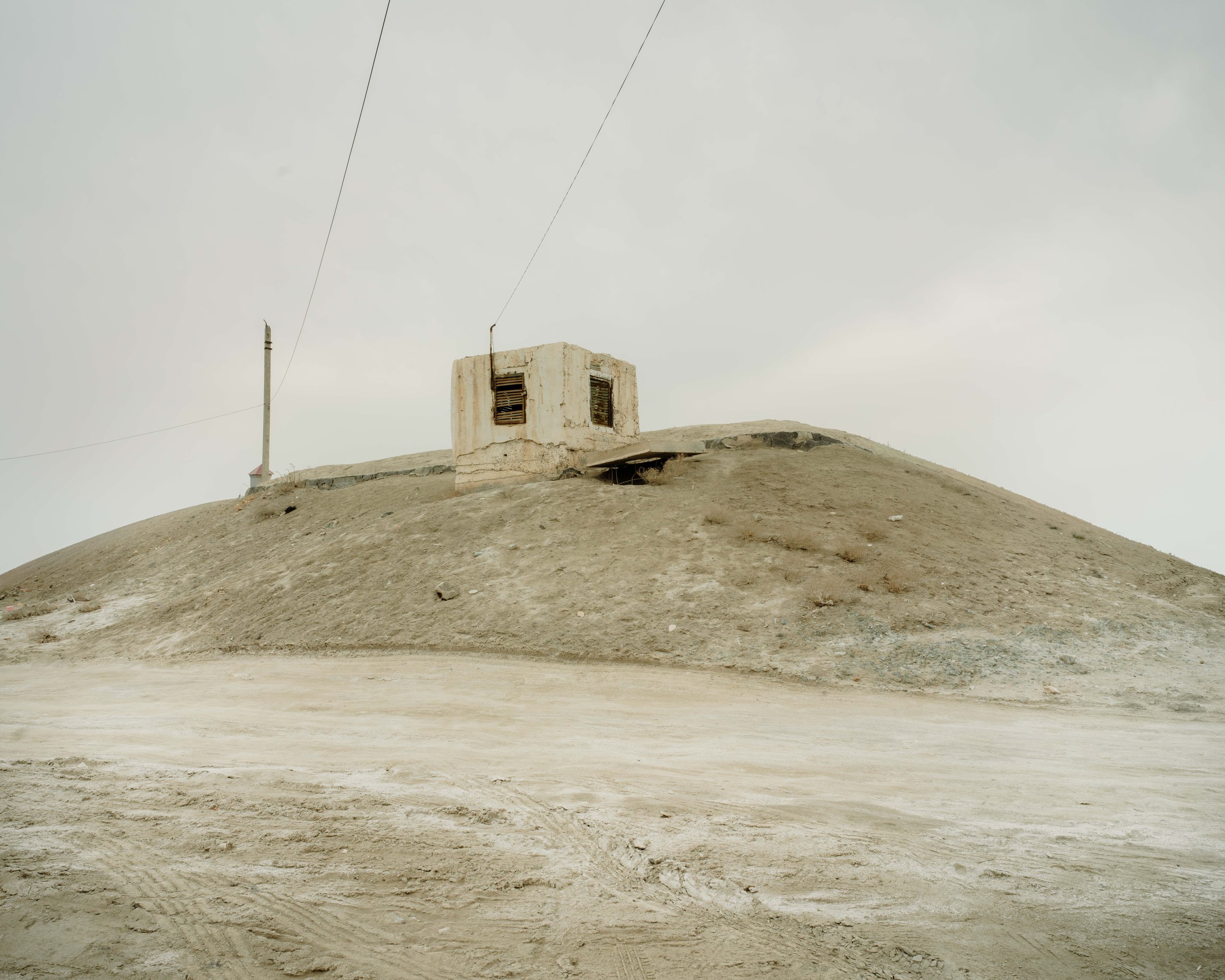
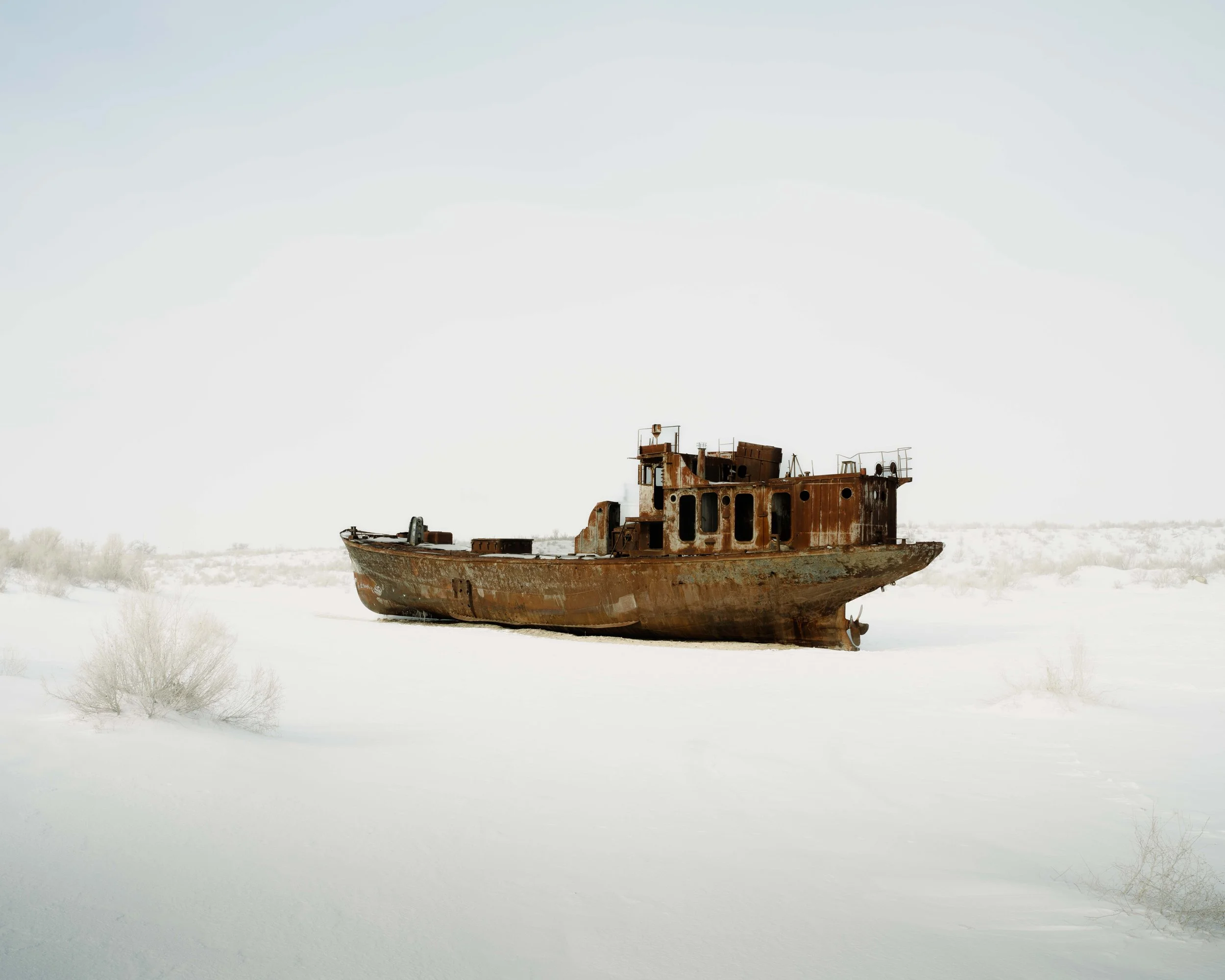
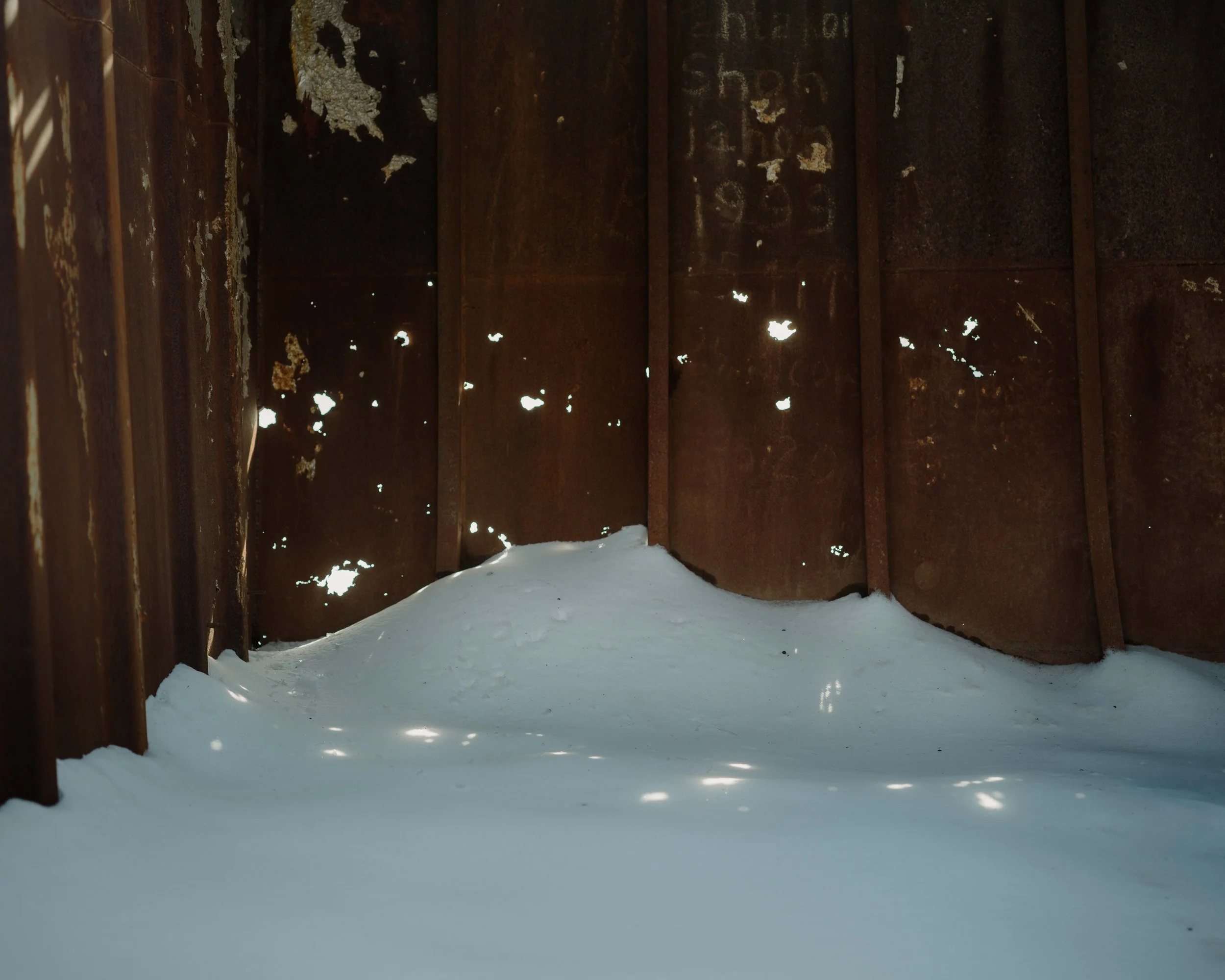
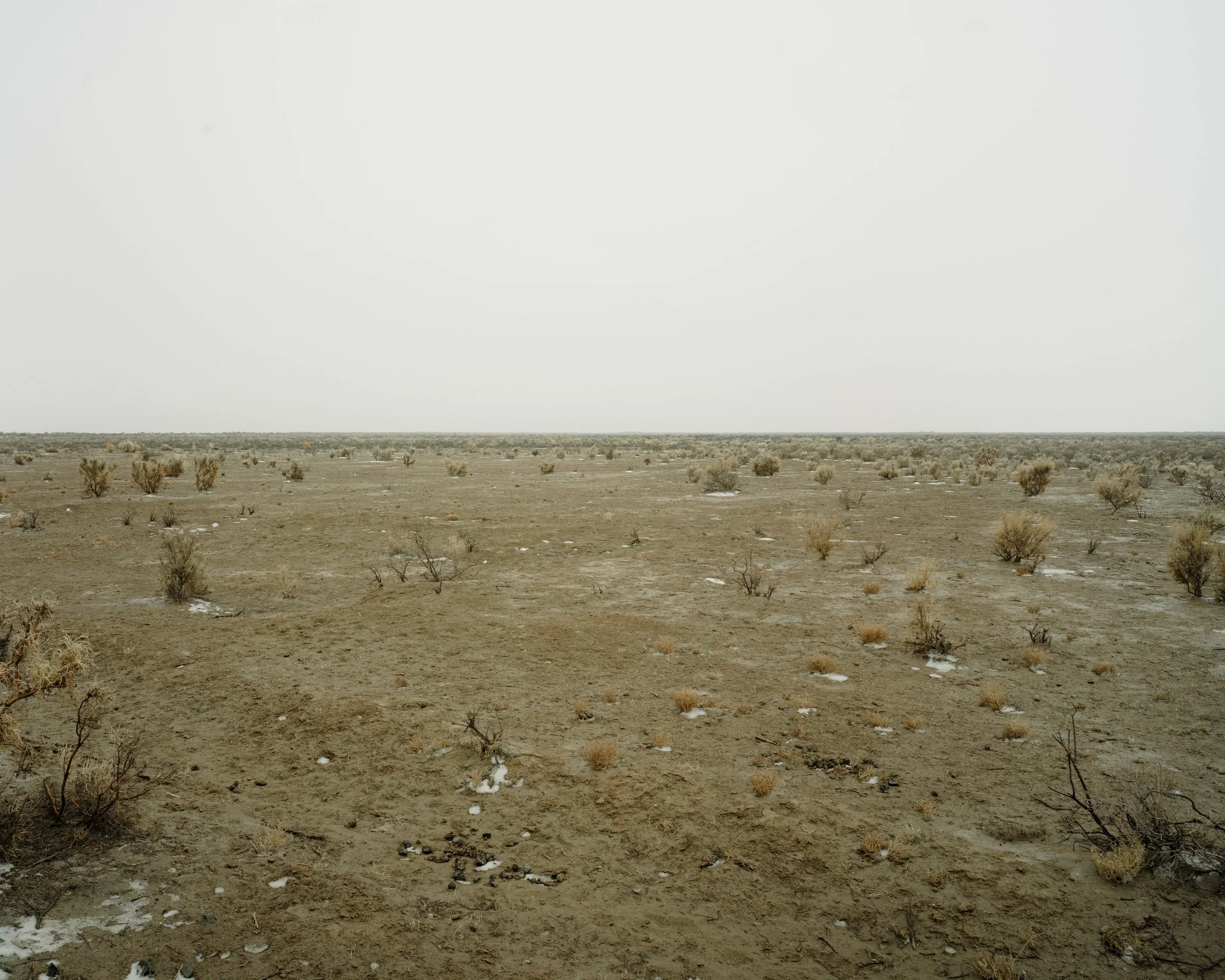
The Aral Sea once held the 4th largest inland mass of water, the size of Ireland. In the 1960s the rivers that fed it were diverted to irrigate Soviet cotton fields. Today most of it has become desert. Useless harbours sit far from the shoreline and fishing boats rest in the sand like rusting tombs.
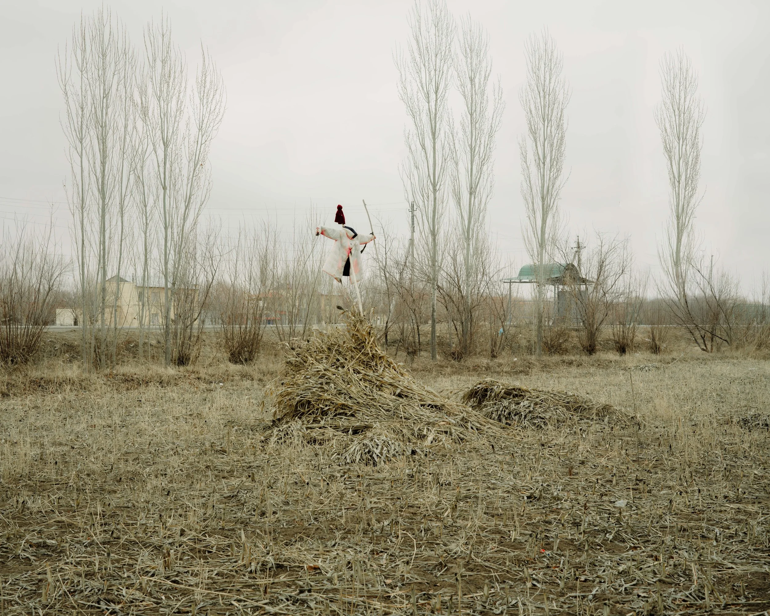
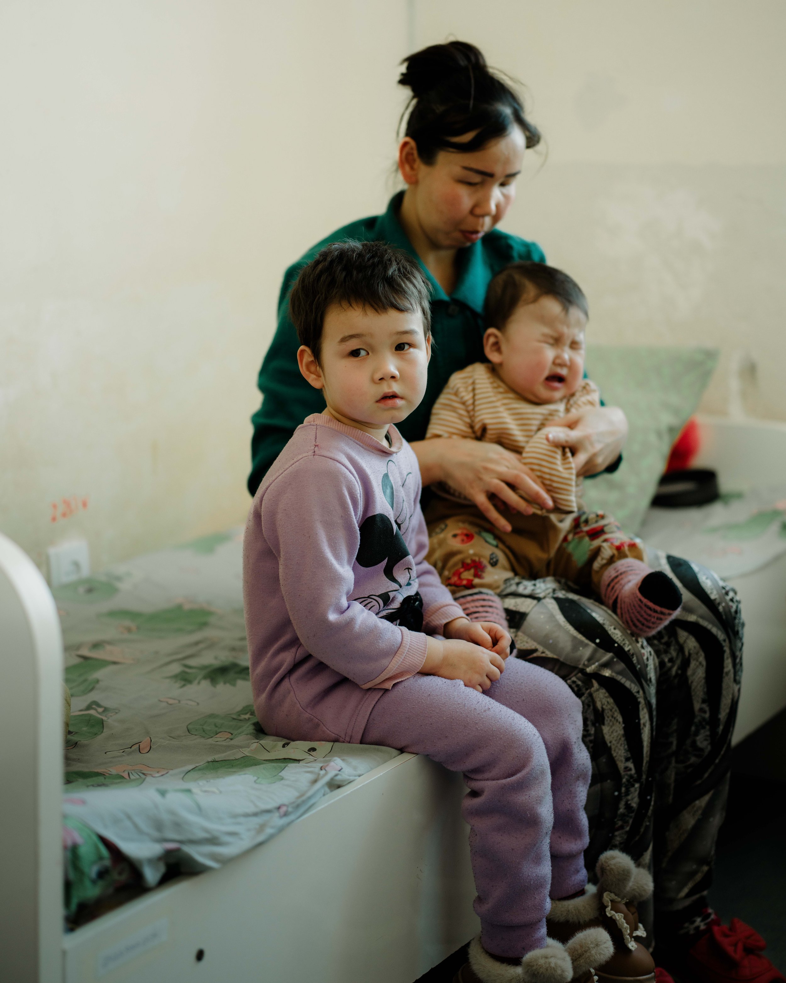
As the sea receded, it left behind plains of salt and chemical dust. Sand storms carry it across vast distances and into towns, villages & cities, where respiratory diseases are now common.
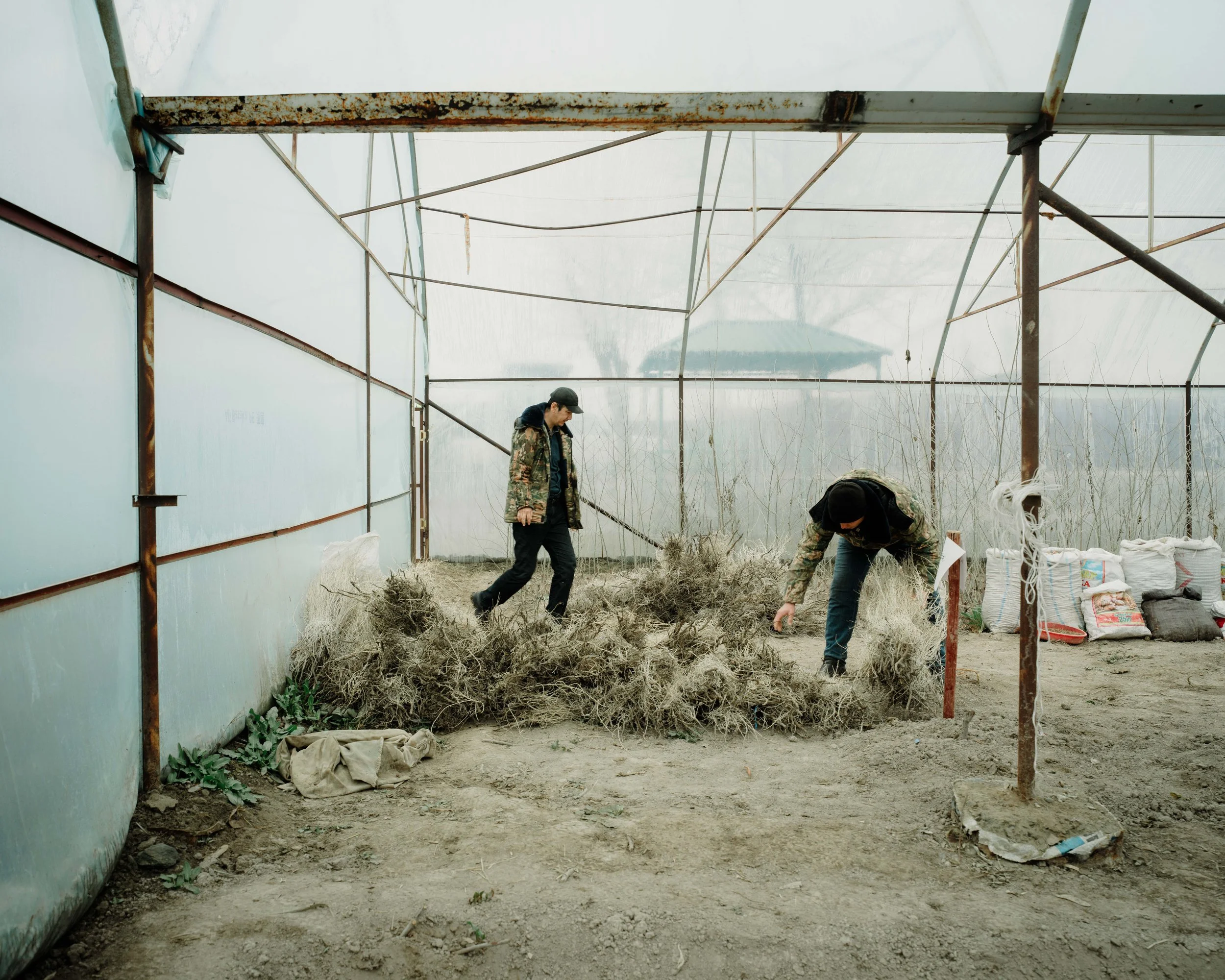
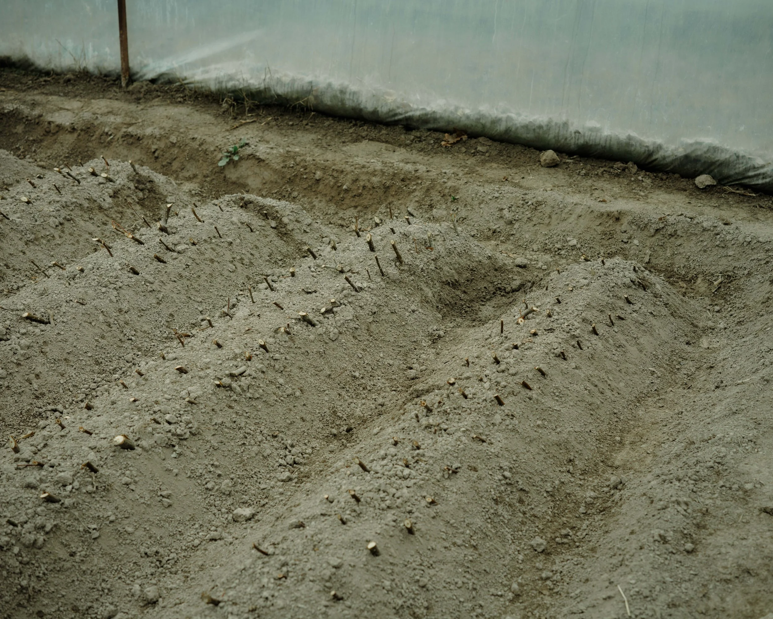
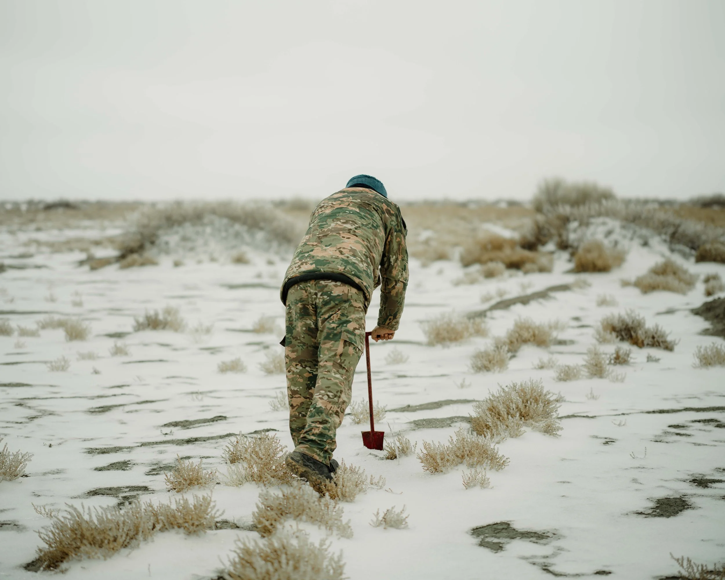
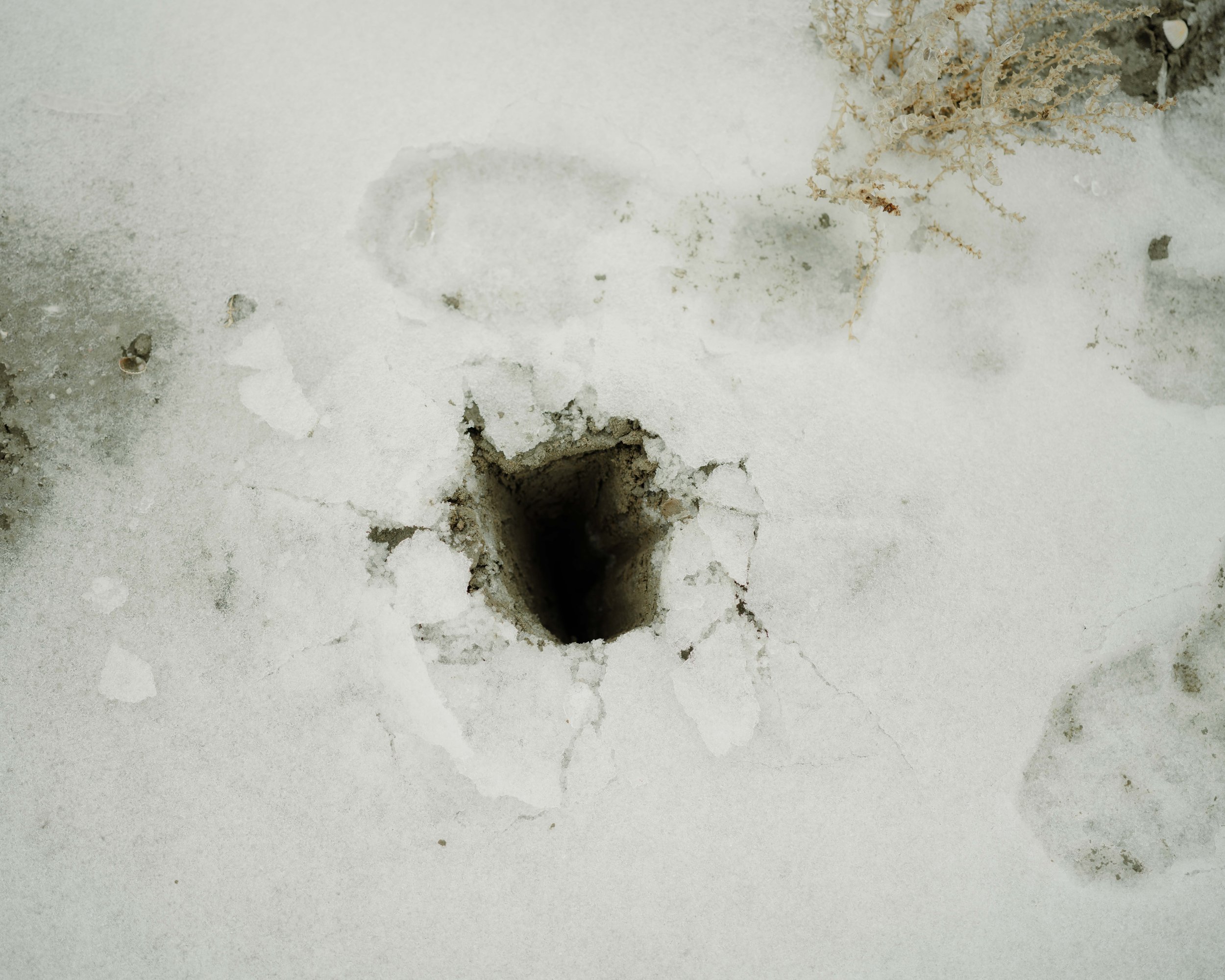
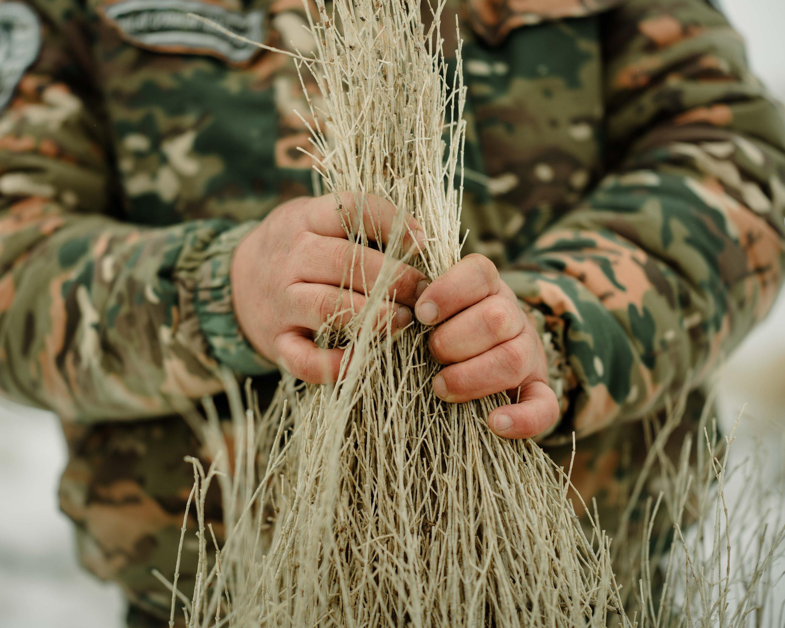
Today, efforts are underway to steady the land. The United Nations Development Programme travel deep into the exposed seabed to plant indigenous Saxaul trees, their roots helping to hold the sand in place & quiet the toxic dust.
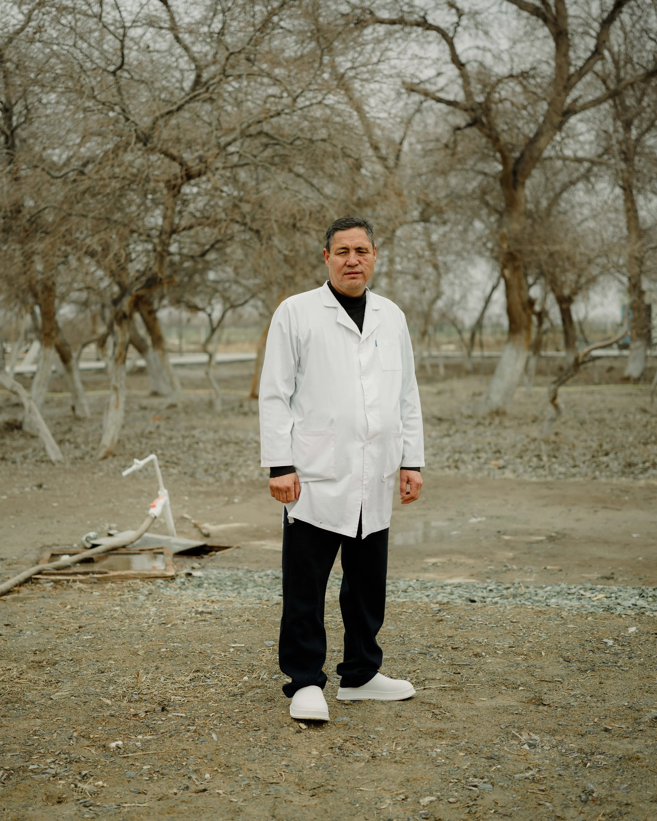
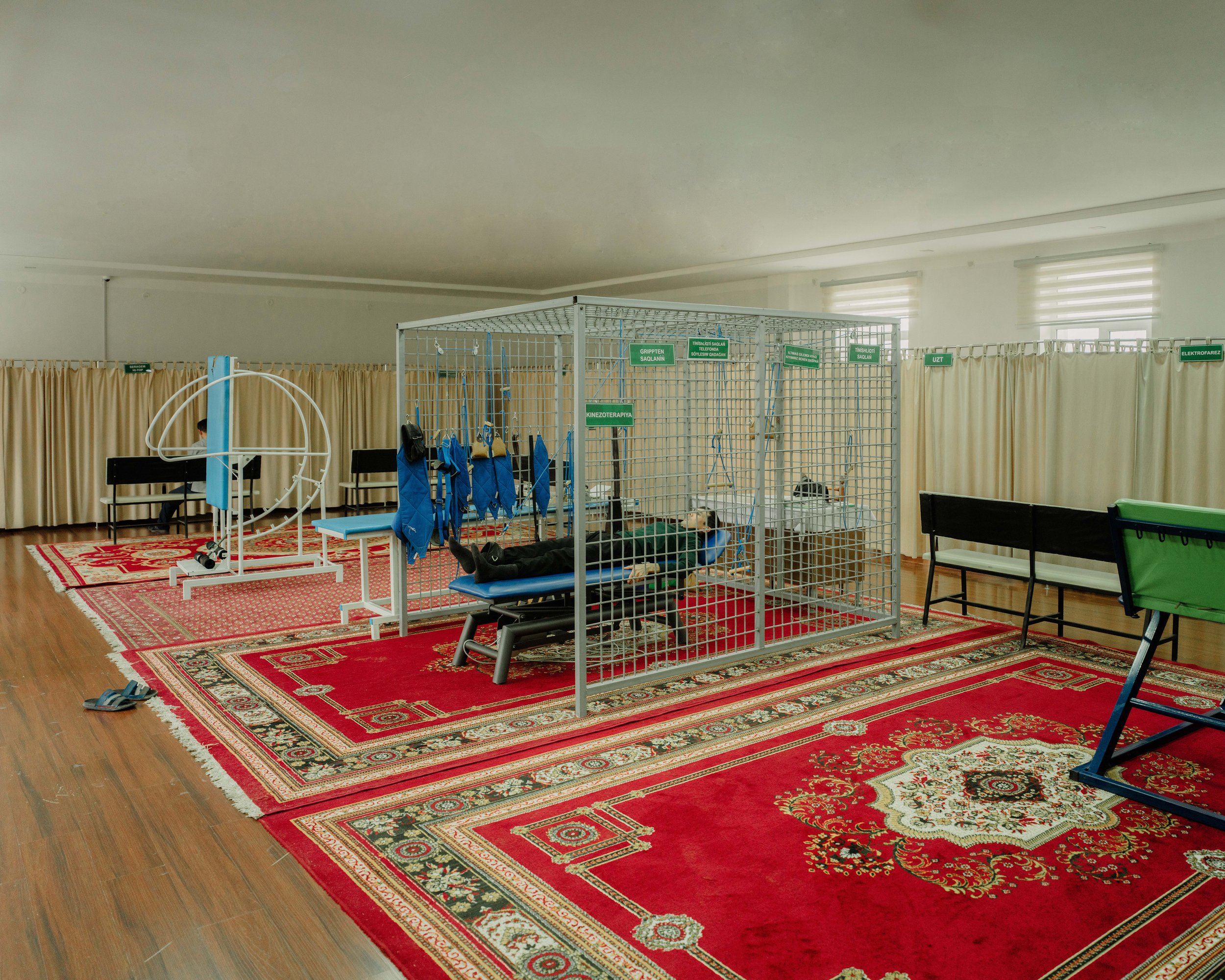
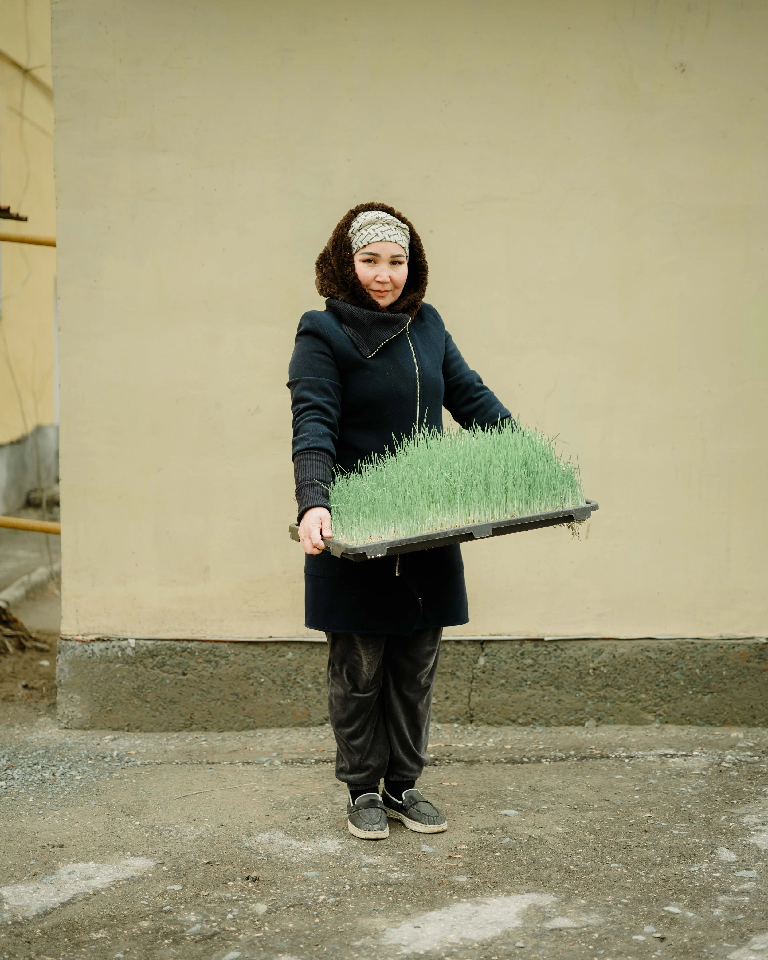
Health facilities introduced water filtration systems to aid the onsite growth of food for there patients. In stark contrast to the landscape, these initiatives provide hope and sustenance for local communities.
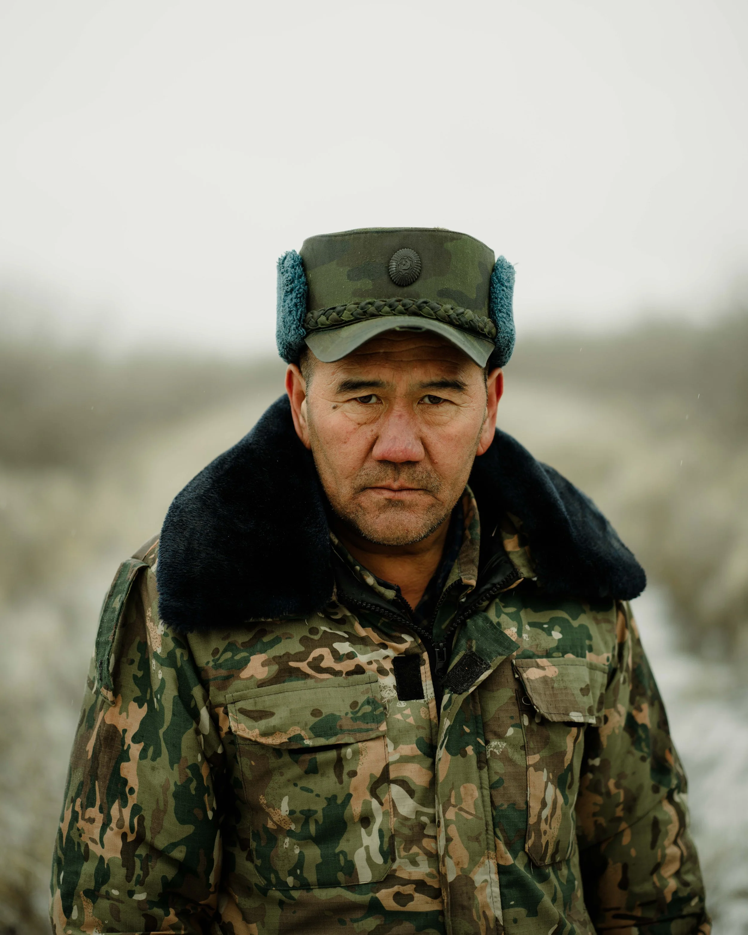
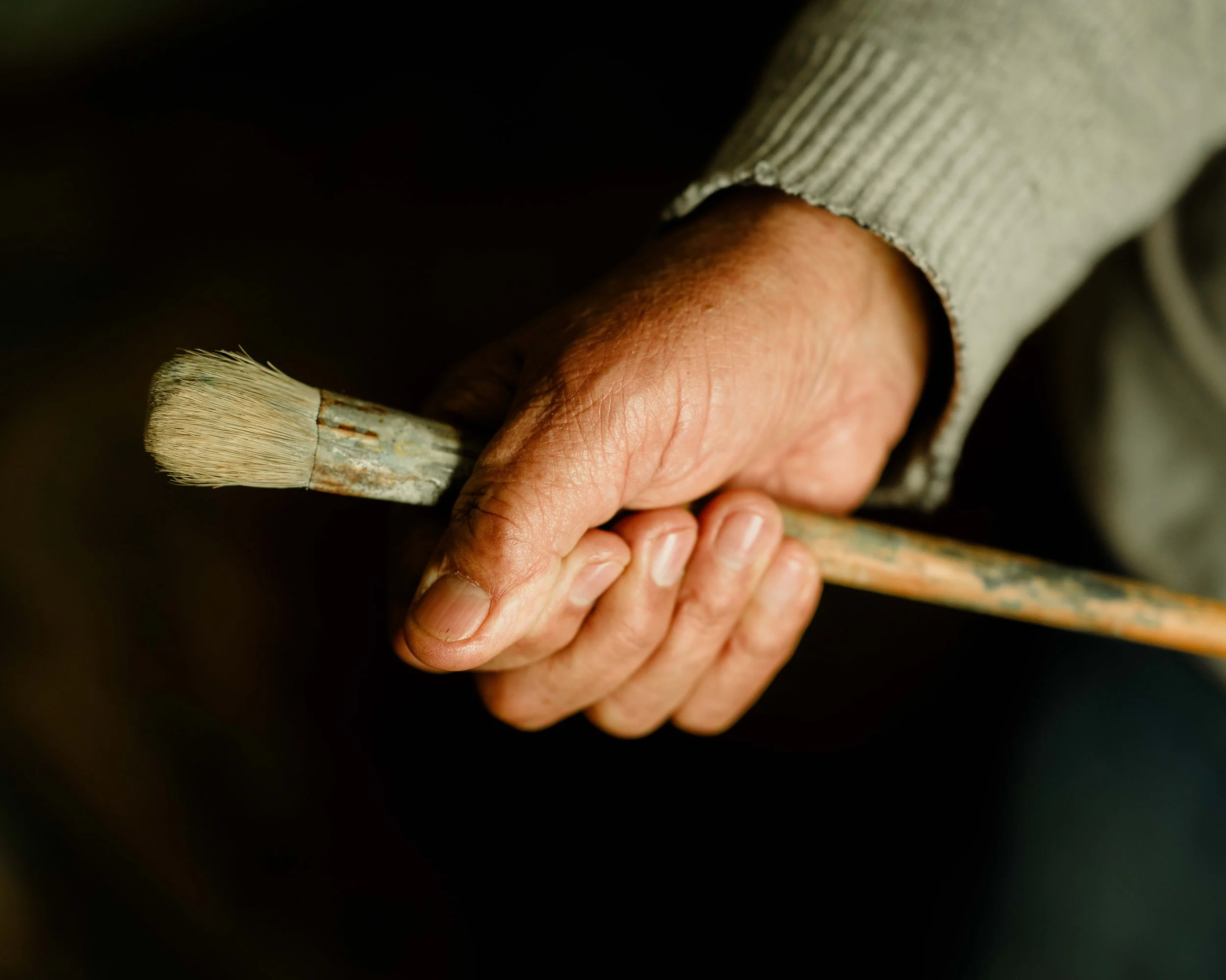
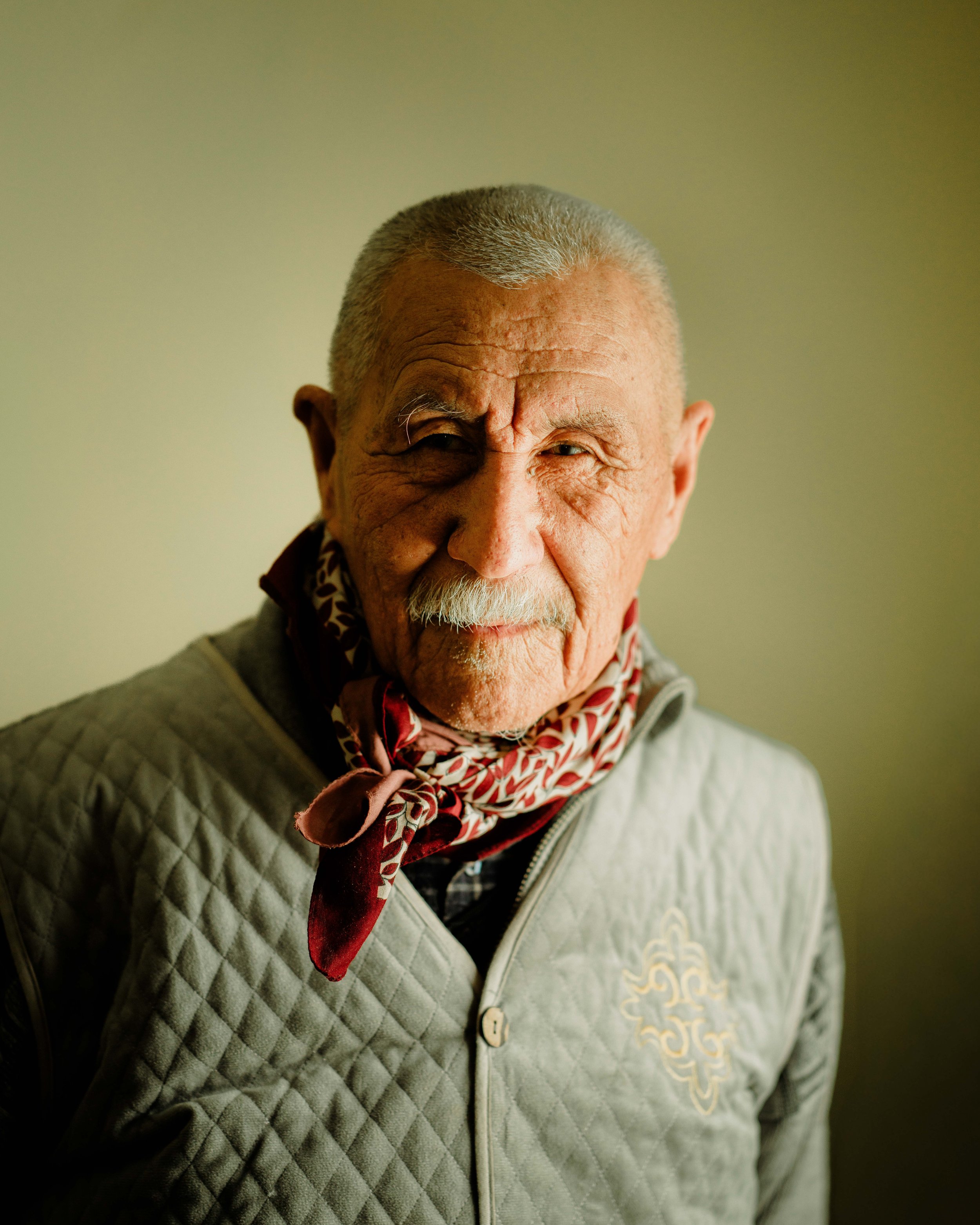
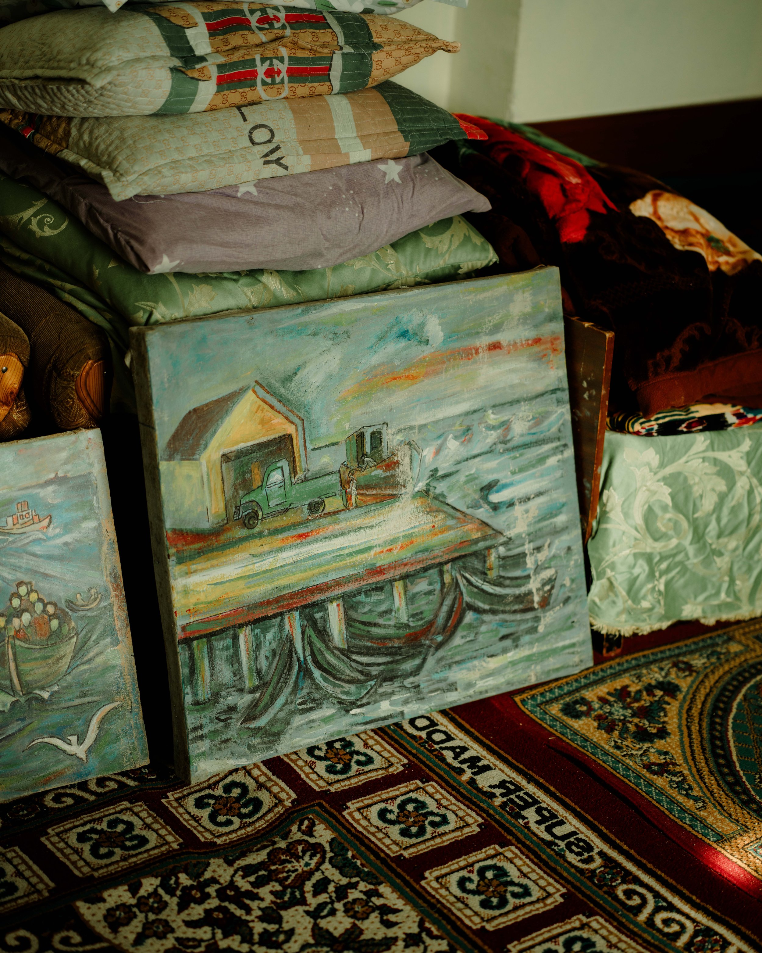
By Foot By Sea documents this altered landscape — tracing the marks left by a disappearing sea and the people working it in its absence.